We bridge the gap between high-volume data capture and engineering precision. Whether it's complex topographic surveys or as-built progress reporting, our deliverables are designed to integrate cleanly with your workflows.
Drone topographic capture for design, planning, and as-built
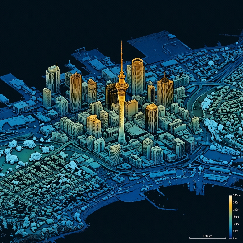
Point-cloud processing, clean surfaces, and feature extraction
Volumes and progress reporting
Control integration so the data lands in the right place
Outputs: DWG / DXF / LAS / surfaces / reports (as agreed)
"We're allergic to pretty-but-wrong. The goal is survey-grade outputs that integrate cleanly with CAD/BIM and construction workflows."