What we do
Full-spectrum surveying for Auckland projects
Our Capabilities
Comprehensive Surveying Disciplines
We deploy specialised teams across three primary surveying verticals, delivering targeted precision exactly where your project demands it.
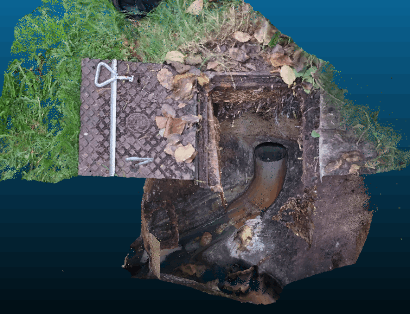
Reality Capture

Drone/UAV Surveys
Elevate your site data with cutting-edge drone technology, delivering efficient and high-resolution aerial surveys for mapping, inspection, and monitoring purposes with unparalleled precision.

Topographic Surveys
Accurate and reliable topographical survey services that provide comprehensive data and insights for your construction, engineering, or land development projects.
Asbuilt Surveys
Get certified precise and detailed as-built survey services to accurately document and capture the existing conditions of your construction or infrastructure project to the Council's standards.

Laser Scanning
Unlock the power of advanced laser scanning technology to capture highly accurate 3D data of your surroundings, providing comprehensive insights for a wide range of industries and applications.

Monitoring Surveys
Ensure the ongoing health and stability of your infrastructure or environmental assets through our comprehensive monitoring survey solutions, utilising advanced techniques to provide real-time data.

Volume Calculation
Optimise your earthworks and construction projects with our precise volume survey services, accurately measuring and calculating quantities of materials to streamline operations and minimise costs.
Setout and Stakeout

Civil and Construction
Safeguard the success of your construction projects with our reliable construction markout survey services, providing accurate positioning and identification of key elements to facilitate efficient execution.

Boundary Marking
Gain clarity and confidence in your property boundaries with our comprehensive boundary survey services, ensuring accurate identification and demarcation of property lines for legal and planning purposes.

Certification
Streamline the council certification process with our expert survey services, delivering accurate and detailed documentation to support your applications for council approvals and compliance.
Cadastral Surveys

Unit Titles and Cross Lease
Navigate the complexities of unit titles and cross lease properties with ease through our specialised survey services, providing precise measurements and plans to facilitate property subdivision.

Limited Titles
Experience a seamless process for removing limited titles from your property with our professional survey services, ensuring accurate documentation and compliance with legal requirements.

Subdivision
Unlock the potential of your land with our comprehensive subdivision survey services, guiding you through the intricacies of the subdivision process to maximise your property's value.